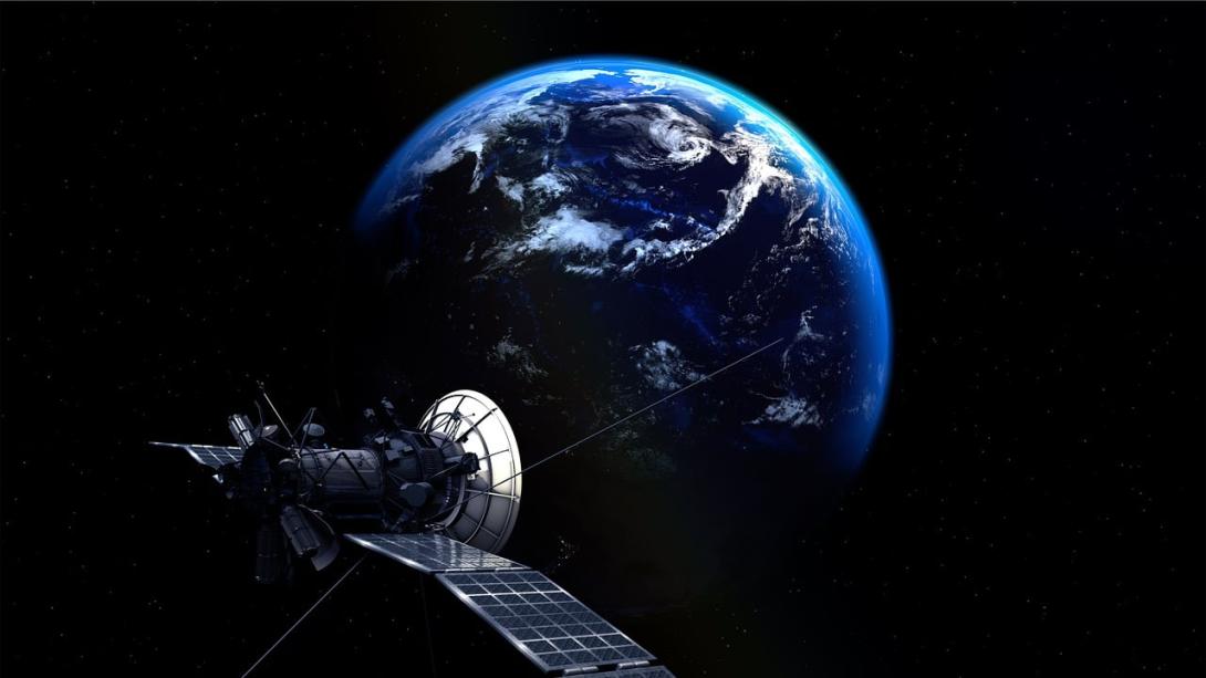
The UK Space Agency is to use satellite data services to gather information on environmental risks and how to mitigate them.
Ten projects are to use Earth observation tools, satellite tracking and data on population demographics, supported by Artificial Intelligence (AI), to produce forecasts and models.
Each project is to receive funding of up to £55,000 to begin development in September on services to produce the most up-to-date view of environmental contexts possible with available Earth observation data, including methane and nitrous oxide emissions, watercourse resilience, biodiversity changes and the infrastructure of decarbonising technologies.
Minister of state at the Department for Science, Innovation and Technology George Freeman MP, said: "The great challenges of our time need bold solutions and from tackling water pollution to carbon emissions and biodiversity threats, the unique perspective that space provides can play a major role in securing the health of our planet and people.
"By backing UK innovators to make the most of modern technology including satellite data, AI, and Earth observation, we are also supporting businesses up and down our country to grow our economy while driving forward our ambition to make the UK a major player in space."
Dr Paul Bate, chief executive of the UK Space Agency, said: "The UK has a long history of expertise and innovation in Earth observation, developing satellites to collect increasingly detailed data and using that information to build services that help protect our planet.
"This targeted funding for early-stage innovations is all about supporting fresh ideas and accelerating the rollout of powerful new tools that have the potential to bring benefits to a wide range of users both within and beyond the space sector."