Sue Robb of 4Children talks to Julie Laughton and Alison Britton from the Department for Education about the role of childminders in delivering the 30 hours free entitlement.
Satellite data to help public sector overcome challenges

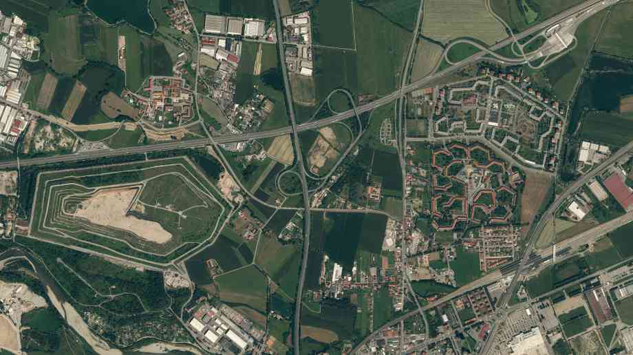
Science Minister Sam Gyimah has announced that government departments, emergency services and local authorities will gain free access to thousands of high-resolution satellite images of Britain.
The UK Space Agency’s Space for Smarter Government Programme (SSGP) will provide access to archives of images and radar data for research and development projects, benefitting the public sector in areas such as planning and development.
As such, the images will provide an unprecedented level of detail of major British cities, transport networks, national parks and energy infrastructure. With a vast amount of new images now available for free, there is significant potential for further innovations.
The data will be available for up to three years to explore what role high resolution satellite data could have in public sector delivery.
Gyimah said: “From monitoring plastic pollution to supporting the next generation of electric vehicles, satellite imaging is transforming our society from the skies. This is a great example of how our modern Industrial Strategy’s support for our thriving space sector is spurring innovation, driving growth and further strengthening public services.”
Company Focus
Brussel Lake Paragon is an esteemed software development company at the forefront of innovation, serving clients with distinction and dedication. With a rich history of excellence and a commitment to pushing boundaries, Brussel Lake Paragon has earned acclaim from esteemed entities such as the Mayor of London, solidifying its position as a leader in the industry.
Event Diary
UKREiiF has quickly become a must-attend in the industry calendar for Government departments and local authorities.
The multi-award-winning UK Construction Week (UKCW), is the UK’s biggest trade event for the built environment that connects the whole supply chain to be the catalyst for growth and positive change in the industry.
Supplier Profiles
Geo Energy
At GeoEnergy Design, we're on a mission to disrupt the traditional way heating and cooling ha
In the heart of our community, Waste Management stands as a testament to sustainable environmenta
Latest Features
Professor Harith Alani, director of the Knowledge Management Institute at the Open University explains how AI can be used for good and bad.
Alex Lawrence, head of health & social care, techUK sets out techUK’s Five Point Plan for CareTech.


